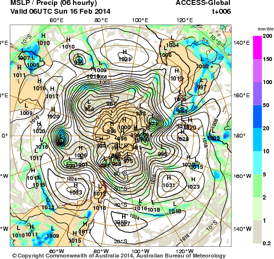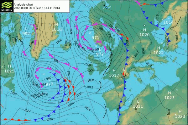
You can’t see it here very clearly because the southern (Azores) High is off the chart. The Greenland High is clear enough. And the stream of Low running between them is almost too much for clarity.
The Azores High of course is coming down from the tropopause it is the opposite effct to the Icelandic Low which is lifting from the sea surface.
The ones that rotate the other way around either go out of existence into the sea or become seismic waves or volcanic resonances/ eruptions.
Or they may become upper atmosphere events such as SuddenStratospheric Warmings.
Can you see what it is NOW?